← Back to Projects Geospatial 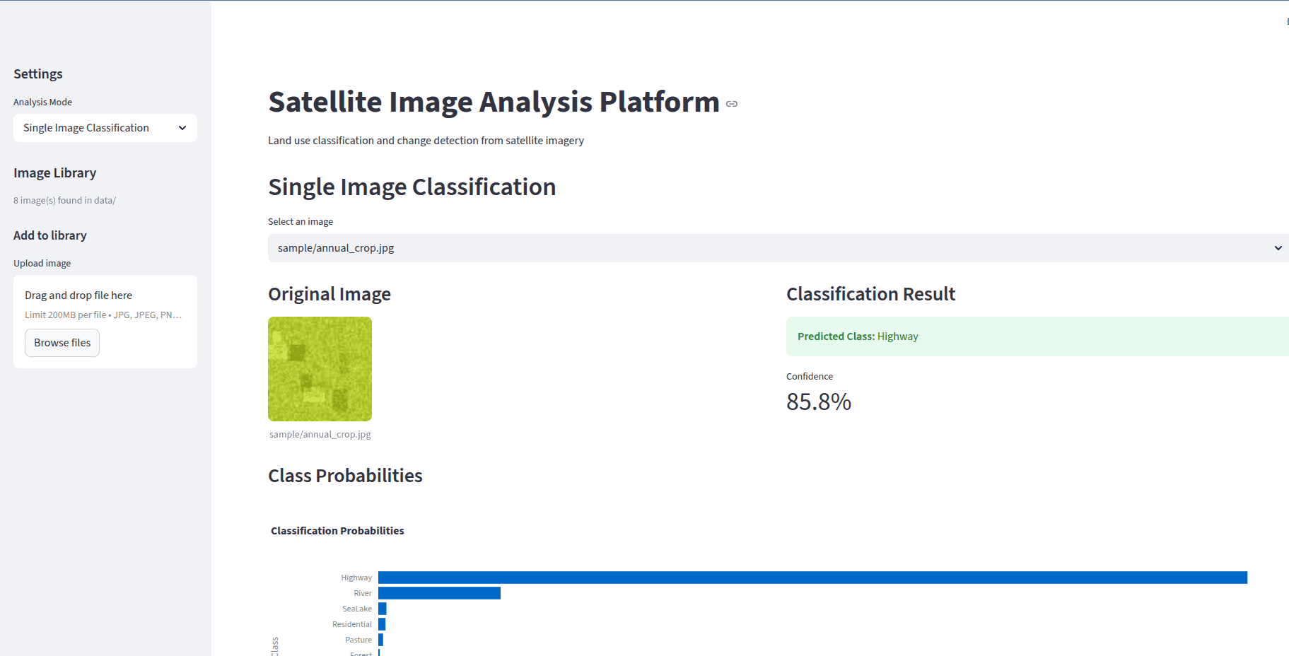
Satellite Image Analysis Platform
Deep learning system for land use classification and change detection from satellite imagery using PyTorch with ResNet/EfficientNet and interactive Folium maps.
Overview
Deep learning platform for satellite image analysis including land use classification and temporal change detection.
Architecture
- ResNet/EfficientNet transfer learning for classification
- Temporal differencing for change detection
- Geospatial data pipeline with rasterio and geopandas
- Interactive Folium map visualization
- Streamlit dashboard for exploration
Key Features
- Multi-class land use classification
- Temporal change detection with confidence scoring
- Interactive geospatial visualization
- Support for multiple satellite data sources